[First posted in AWOL 1 February 2015, updated 1 August 2017]
Starinar: Organ Arheologskog Instituta
ISSN 0350-0241
ISSN 2406-0739 (Online)
Starinar: Organ Arheologskog Instituta
ISSN 0350-0241
ISSN 2406-0739 (Online)
The website "Starinar" contains the online version of this journal published by the Archaeological Institute in Belgrade and accessible on the web pages of the National Library of Serbia. The journal is published annually and is dedicated to the archaeological studies in Serbia and the neighbouring countries with direct relevance to Serbian past, with studies ranging from Palaeolithic to Roman times and early Christianity. On this website only the issues from 2002 to 2006 were available at the time of cataloguing, although "Starinar" was first published in 1950. The issues can be browsed by tables of contents, which list all the titles in English. The research studies and articles however can be in Serbian, English, German, French or Italian. Files are in PDF format, which can be downloaded or read online; the site also offers the option of emailing the articles. The site offers no information about the editorial board and policy of the journal; similarly, the usual submission guidelines for authors are not available. [Description from Intut]
Starinar LXVI (2016)
Starinar LXV (2015)
Starinar LXIV (2014)
Starinar LXIII (2013)
Starinar LXII (2012)
Starinar LXI (2011)
Starinar LX (2010)
Starinar LIX (2009)
Starinar LVI (2006)
Starinar LV (2005)
Starinar LIII-LIV (2003-2004)
Starinar LII (2002)
Starinar LI (2001)
Starinar L (2000)STARINAR – NOVA SERIJA
Starinar II (1951)
Starinar III-IV (1952-1953)
Starinar V-VI (1954-1955)
Starinar VII-VIII (1956-1957)
Starinar IX-X (1958-1959)
Starinar XII (1961)
Starinar XIII-XIV (1962-1963)
Starinar XXI (1970)
Starinar XXIII (1972)
Starinar XXIV-XXV (1973-1974)
Starinar XXVI (1975)
Starinar XXVII (1976)
Starinar XXXIII-XXXIV (1982-1983)STARINAR – TREĆA SERIJA
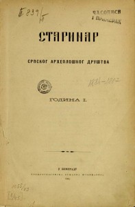
Starinar 1 (1922)
Starinar 2 (1923)
Starinar 3 (1924-1925)
Starinar 4 (1926-1927)
Starinar 5 (1928-1930)
Starinar 6 (1931)
Starinar 7 (1932)
Starinar 8-9 (1933-1934)
Starinar 10-11 (1935-1936)
Starinar 12 (1937)
Starinar 13 (1938)
Starinar 14 (1939)
Starinar 15 (1940)STARINAR – DRUGA SERIJA
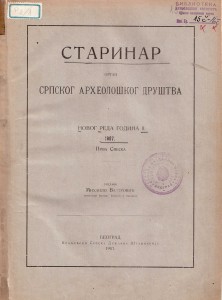
Starinar 1 (1906)
Starinar 2 (1907)
Starinar 3 (1908)
Starinar 4 (1909)
Starinar 5 (1910)
Starinar 6 (1911)STARINAR – PRVA SERIJA
Starinar 1 (1884)
Starinar 2 (1885)
Starinar 3 (1886)
Starinar 4 (1887)
Starinar 5 (1888)
Starinar 6 (1889)
Starinar 7 (1890)
Starinar 8 (1891)
Starinar 9 (1892)
Starinar 10 (1893)
Starinar 11 (1894)
Starinar 12 (1895)

See the full List of Open Access Journals in Ancient Studies